Port Credit
Explore the Credit River waterfront, the park at the harbour and the GO rail connection.
Explore Port Credit →Loading verified project information…
URBYN NEIGHBOURHOODS · GTA
Explore community guides and development applications matched to official Toronto neighbourhood boundaries. Regional guides link to their municipal map and presale coverage.
Explore the Credit River waterfront, the park at the harbour and the GO rail connection.
Explore Port Credit →Vaughan’s downtown combines subway access, housing, and public recreation facilities.
Explore Vaughan Metropolitan Centre →Explore the historic downtown around Main Street, Gage Park, the GO station and The Rose.
Explore Downtown Brampton →The City profile maps the neighbourhood around Don Mills Road and Lawrence Avenue East, with the Don River branches and Wilket Creek as geographic reference points.
3 tracked files · Feed checked
Explore Banbury-Don Mills →Humber Bay Park spans two peninsulas separated by Mimico Creek. The City’s master plan sets out future park improvements in stages.
3 tracked files · Feed checked
Explore Mimico-Queensway →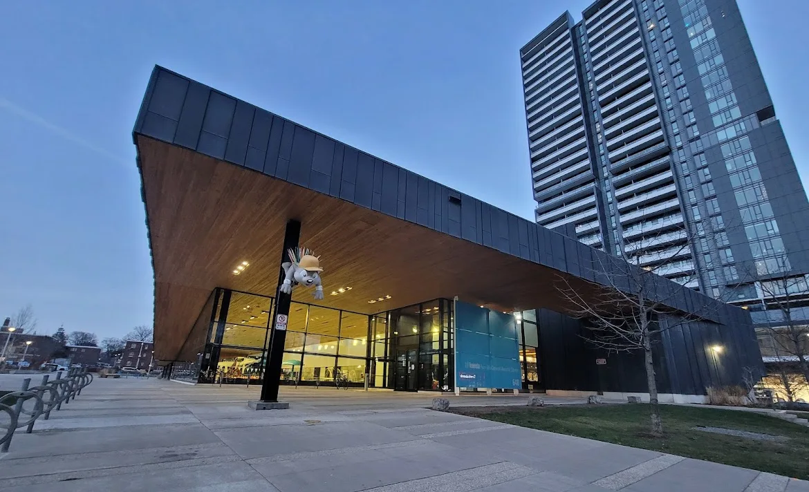
The City lists a gymnasium at Regent Park Community Centre, 402 Shuter Street.
3 tracked files · Feed checked
Explore Regent Park →3 tracked files · Feed checked
Explore Bayview Village →6 tracked files · Feed checked
Explore Bridle Path-Sunnybrook-York Mills →3 tracked files · Feed checked
Explore Islington →4 tracked files · Feed checked
Explore Lansing-Westgate →5 tracked files · Feed checked
Explore South Parkdale →3 tracked files · Feed checked
Explore Yorkdale-Glen Park →